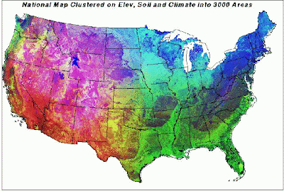
This is a cholopleth map that uses multiple variables in its map creations process. In the example above each cell which represents one square mile has nine. These were things like elevation, soil nitrogen, organic matter, etc. A supercomputer was needed to combine all this data.
Great mapping blog, have you used a 3Lake District Raised Relief Map?
ReplyDelete